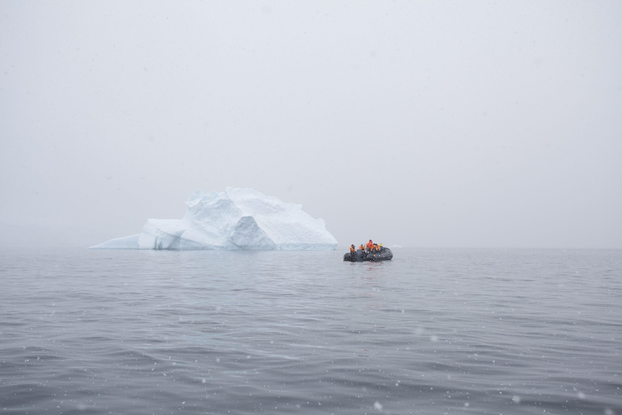
Each year, the Royal Canadian Geographical Society awards grants to teams or individuals embarking on expeditions to enhance the appreciation, understanding and knowledge of the physical, environmental and cultural geography of Canada. In 2026, the Society is pleased to award nine expedition grants to projects both major and modest. This year, RCGS-funded expeditions will see teams explore caves, kayak around Vancouver Island in search of eelgrass ecosystems, and document shipwrecks.
Expedition of the Year
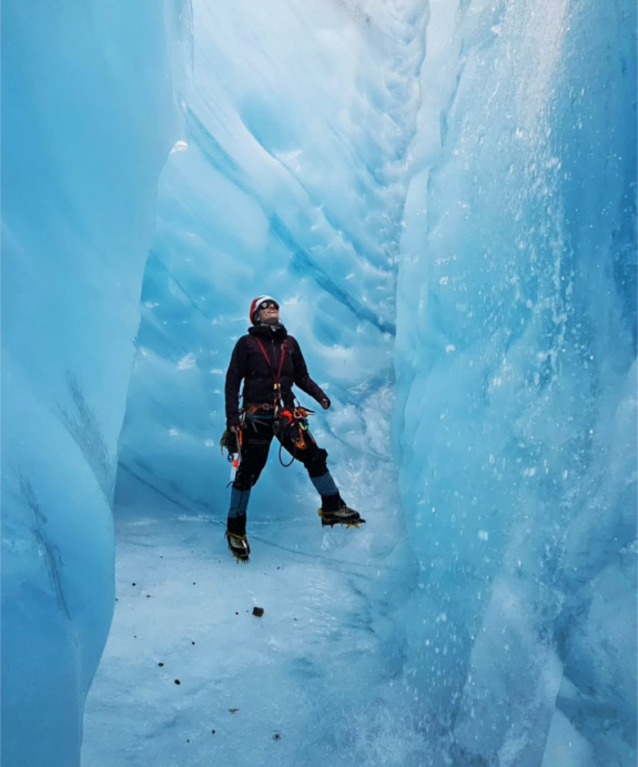
Bisaro Anima 2026
Grantee: Katie Graham
Bisaro Anima was featured in the documentary Subterranean, which won Banff Mountain Film Fest’s ‘Best Adventure Film’ in 2023. The team will return in September 2026 to push the cave further and deeper. They will introduce rebreather diving to allow multiple dives in the cold water of the sump at the bottom. They hope to dive through a P-trap of water and continue caving for 1.5 kilometres to the resurgence. There are unexplored passages they will survey by following clues of the geology and the forces that carved the passages. They hope to connect two caves, The Hood joining into Bisaro Anima, making the system the 4th longest in Canada at approximately 12 kilometres long.
Major Grants
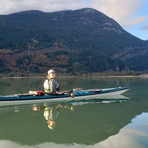
Expedition Eelgrass
Grantee: Spencer Shields
Vancouver Island’s wild, fjorded shores hide many under-explored underwater habitats. For millennia, eelgrass meadows just below the waterline supported Indigenous food security and culture. Today, these vital habitats—crucial for marine life and coastal protection—are threatened by development, logging, and climate change. Many remain
undocumented and at risk of quiet disappearance, their loss heightened by colonial disruptions that broke long-standing connections between people and the sea. Expedition Eelgrass will kayak around Vancouver Island, free diving to document overlooked eelgrass ecosystems. Starting in Squamish, the expedition travels up the Sunshine Coast, through the Discovery Islands, along the outer coast, and returns via the Salish Sea. They will map eelgrass habitats, assess their condition using imagery and observation, and gather insights from local communities. Sharing their connections and discoveries, they aim to reveal Vancouver Island’s hidden nearshore ecosystems.
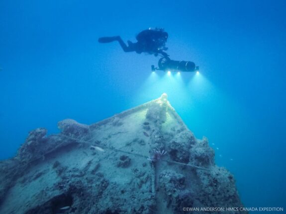
Bell Island Battle of the Atlantic Virtual Memorial Expedition
Grantee: Joseph Frey
This is a multidisciplinary marine archaeology, ecology and commemoration project focused on four WWII shipwrecks sunk off Bell Island, Newfoundland (1942). These wrecks represent the only multi-wreck wartime loss site in Canadian and North American waters. The team will document the wrecks using ROV survey, advanced subsea laser scanning and optical imaging, and highly controlled diver activity. Primary objectives include recording the wrecks, assess ongoing structural deterioration and establish a baseline record of associated marine flora and fauna as climate change alters the local marine environment.
Major Grant + Natalie Gillis Adventure Photography and Expedition Grant
Dying Without A Name: Revealing Canada’s Unnamed and Unmapped Glacial Watersheds
Grantee: Chantelle Abma
How can we care about what we don’t know? British Columbia’s northern Coast Mountains contain hundreds of glaciers forming critical headwaters of the Skeena River. These glaciers sustain salmon ecosystems, First Nations, and other local communities, yet many remain unnamed and absent from maps and stories as they rapidly disappear. This is a women-led Canadian expedition combining alpine exploration, documentation and storytelling to visit and record select unnamed glaciers. Through field observation, photography, GPS documentation, and GIS mapping, the project will spotlight unknown but critical glacial watersheds.
David Sawatzky Cave Exploration Grant
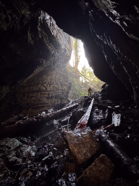
Project Nimbus
Grantee: Sara Fleetwood
Gibson Cave, a remote and unexplored karst area on Vancouver Island, lies near the end of Herbert Inlet, north of Tofino. The team used high-resolution LiDAR to identify multiple cave entrances, with regional topography suggesting up to 385 metres of depth potential. The 2026 expedition will continue exploration and survey of known caves, investigate remaining LiDAR-identified features, and expand the regional cave inventory. This work will advance Canada’s karst and cave knowledge and contribute new geographic documentation of Vancouver Island’s subterranean landscapes.